
JOURNAL OF GEOPHYSICAL RESEARCH, VOL. 116, F03024, 9 PP., 2011
doi:10.1029/2011JF001972
doi:10.1029/2011JF001972
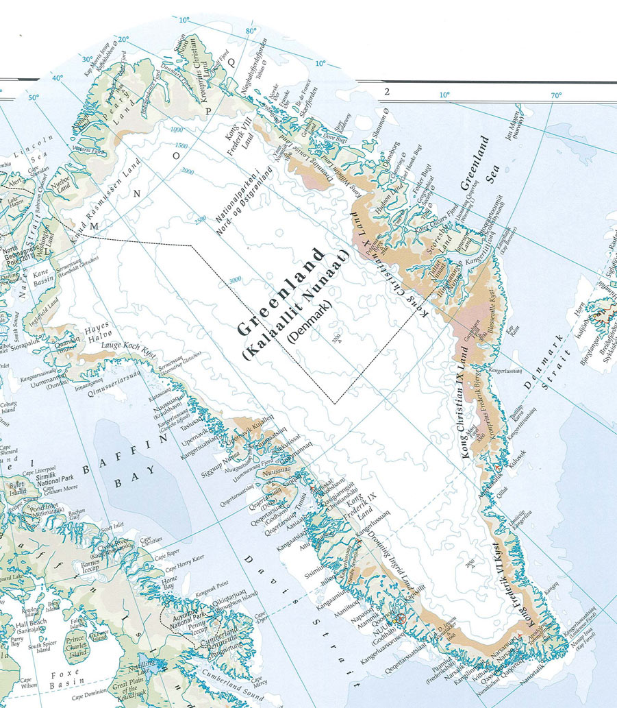
We have used Radar Altimeter 2 (RA-2) onboard ESA's EnviSAT and Geosciences Laser Altimeter System (GLAS) onboard NASA's ICESat to map the elevation change of the Flade Isblink Ice Cap (FIIC) in northern Greenland. Based on RA-2 data we show that the mean surface elevation change of the FIIC has been near zero (0.03 ± 0.03 m/a) between fall 2002 and fall 2009. We present the elevation change rate maps and assess the elevation change rates of areas above the late summer snow line (0.09 ± 0.04 m/a) and below it (−0.16 ± 0.05 m/a). The GLAS elevation change rate maps show that some outlet glaciers, previously reported to have been in a surge state, are thickening rapidly. Using the RA-2 measured average elevation change rates for different parts of the ice cap we present a mass change rate estimate of 0.0 ± 0.5 Gt/a for the FIIC. We compare the annual elevation changes with surface mass balance (SMB) estimates from a regional atmospheric climate model RACMO2. We find a strong correlation between the two (R = 0.94 and P < 0.002), suggesting that the surface elevation changes of the FIIC are mainly driven by net SMB. The correlation of modeled net SMB and measured elevation change is strong in the southern areas of the FIIC (R = 0.97 and P < 0.0005), but insignificant in the northern areas (R= 0.38 and P = 0.40). This is likely due to higher variability of glacier flow in the north relative to the south.
No comments:
Post a Comment